Searching Tip – Use the least amount of words necessary, and choose the correct name from the results. (e.g. “Jones,” not “T Jones,” “T. Jones,” “TS Jones,” “T.S. Jones,” “Ted Jones,” etc. – just “Jones.”)
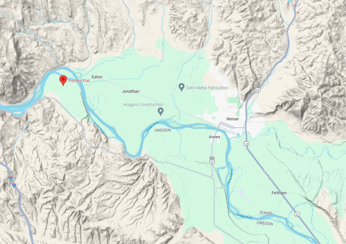
(Click Image for Enlargement, if available) Porters Flat – Google Map
2020 Topographic Map quadrangle for Porters Flat in the states of Idaho and Oregon. Scale: 1:24000. Based on the newly updated USGS 7.5′ US Topo map series, this map is in the following counties: Malheur, Oregon and Washington, Idaho. The map contains contour data, water features, and other items you are used to seeing on USGS maps, but also has updated roads and other features.
Porters Flat map contains the following named places: Central School, Domby Ditch, Eaton, Eaton School, Grimmet Lateral, Haas School, Hale School, Haystack, Hog Creek, Jonathan, Kelly Mountain, Porters Ferry, Porters Flat, Porters Island, Rocky Point, Scott Creek, Scott Creek Dam, Smith-Hemenway Lateral, Snake River Slides Safety Rest Area, Warm Springs Creek, Weiser Warm Springs, West Weiser Flat.
If you have questions about this page, want to start or join a discussion about it, or add new information, please visit our Facebook Group, “Weiser Area Memories.”